FieldScope
Empowering communities to increase our understanding of the world we share.
Powering Citizen Science with FieldScope
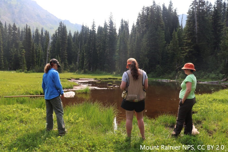
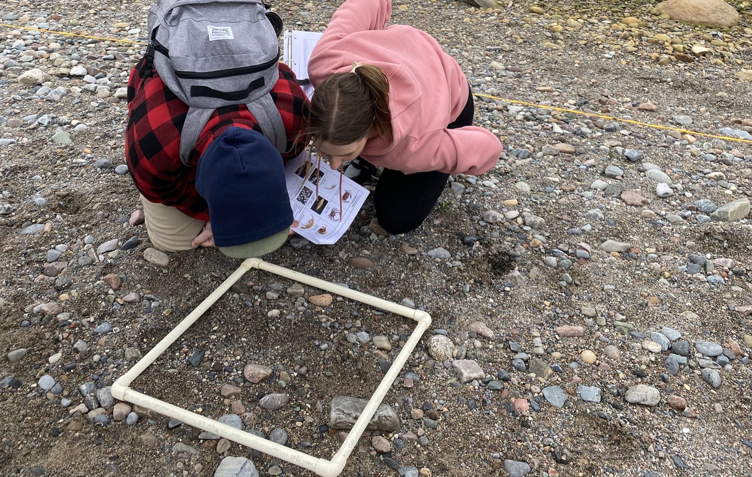
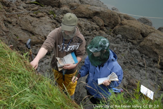
FieldScope is an innovative map-based data collection and analysis platform managed by BSCS Science Learning. It supports citizen and community science projects and other initiatives with tools to collect data from dispersed geographic locations and to analyze trends, patterns and change over time, including the impact of interventions.
FieldScope enables organizations, community members and learners to monitor and actively address issues, such as environmental and social challenges, that are concerning to them. It empowers participants in projects to use maps, graphs, and other visualization tools to make meaning of crowd-sourced datasets and turn data into stories that can be used in science communication and grassroots advocacy.


Current Projects
Search our database of FieldScope projects to find projects open to join, see models of great FieldScope projects, and in some cases find projects that you can duplicate and edit to help make the project your own.
Launch a Project
Find out how you can launch your own instance of FieldScope to host your community science project or other data collection effort.
Lesson Plans
Are you a teacher interested in using FieldScope in your classroom? Check out our lesson plans for middle and high school classrooms.
Who Makes FieldScope?
FieldScope is developed, maintained, and supported by BSCS Science Learning. Prior to 2016, FieldScope had been developed and managed by the National Geographic Society under the leadership of current BSCS Executive Director Dr. Daniel Edelson.